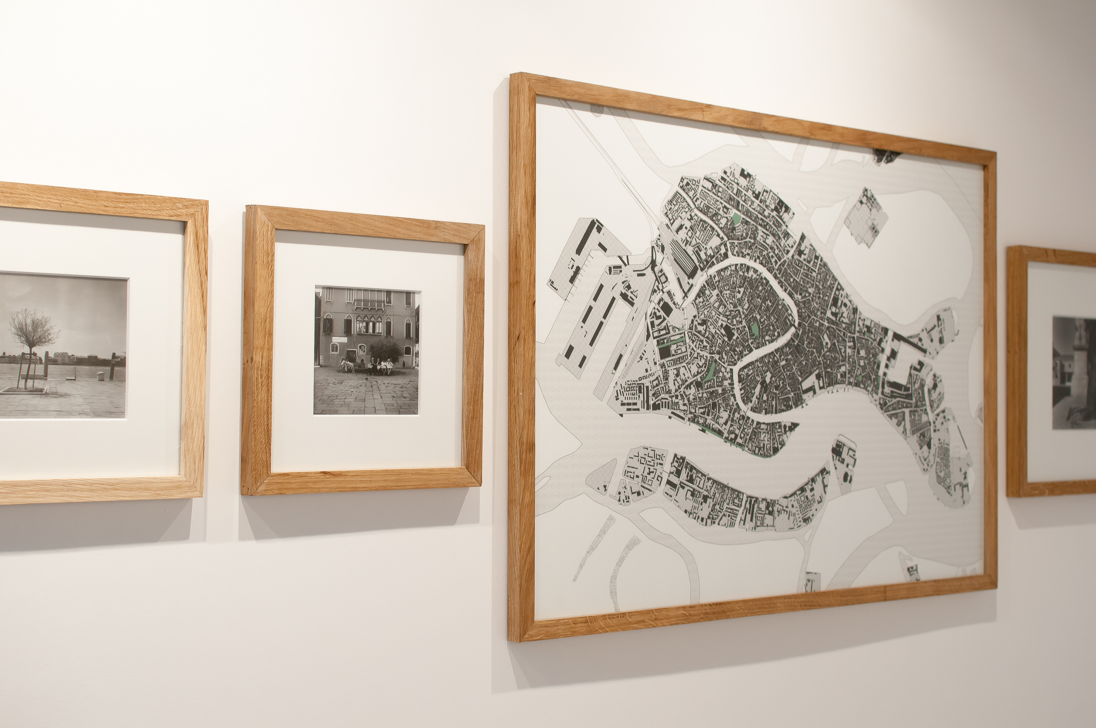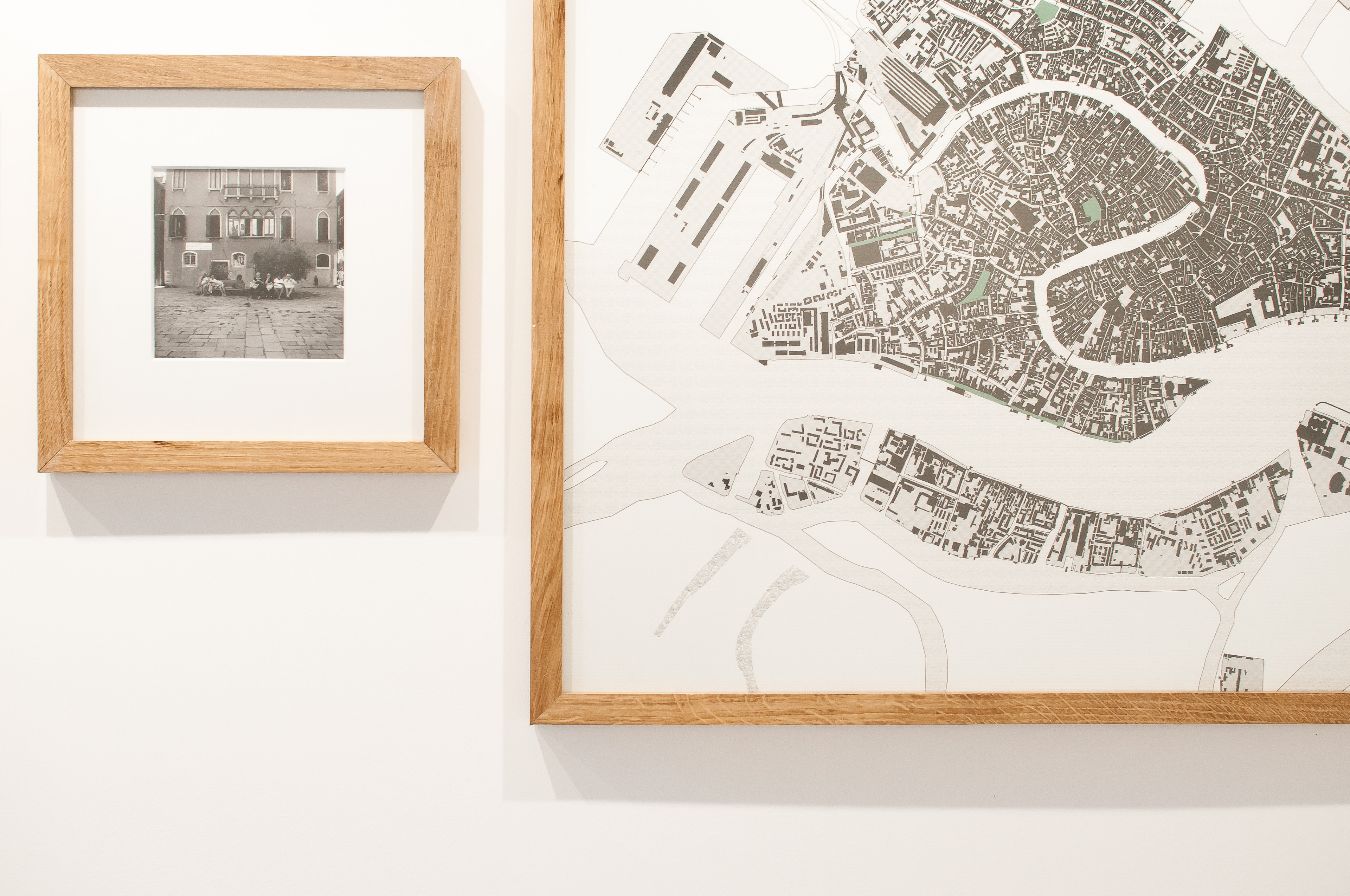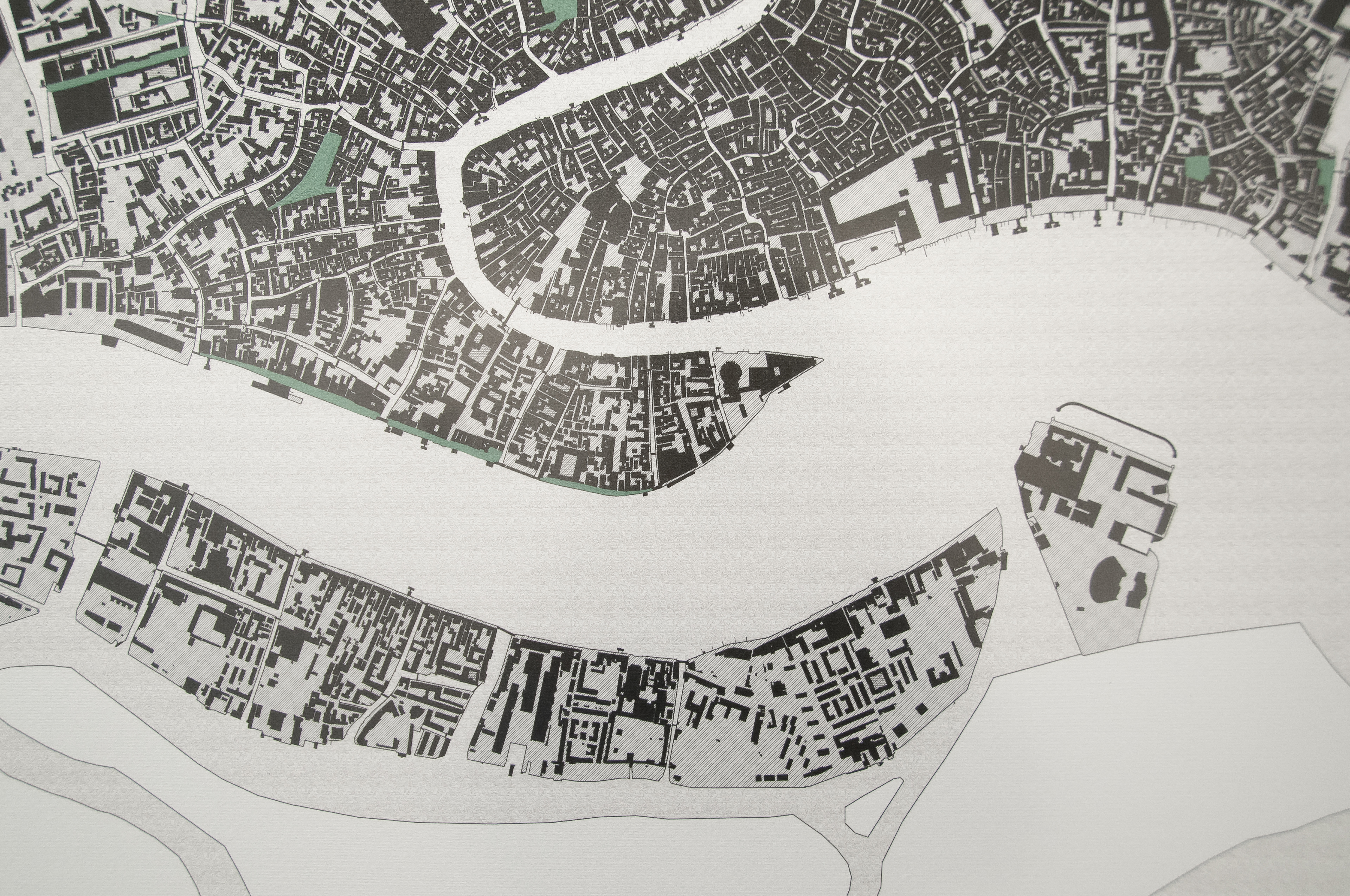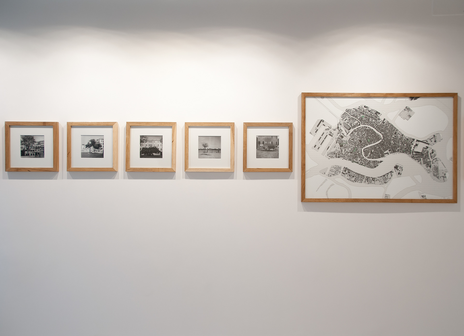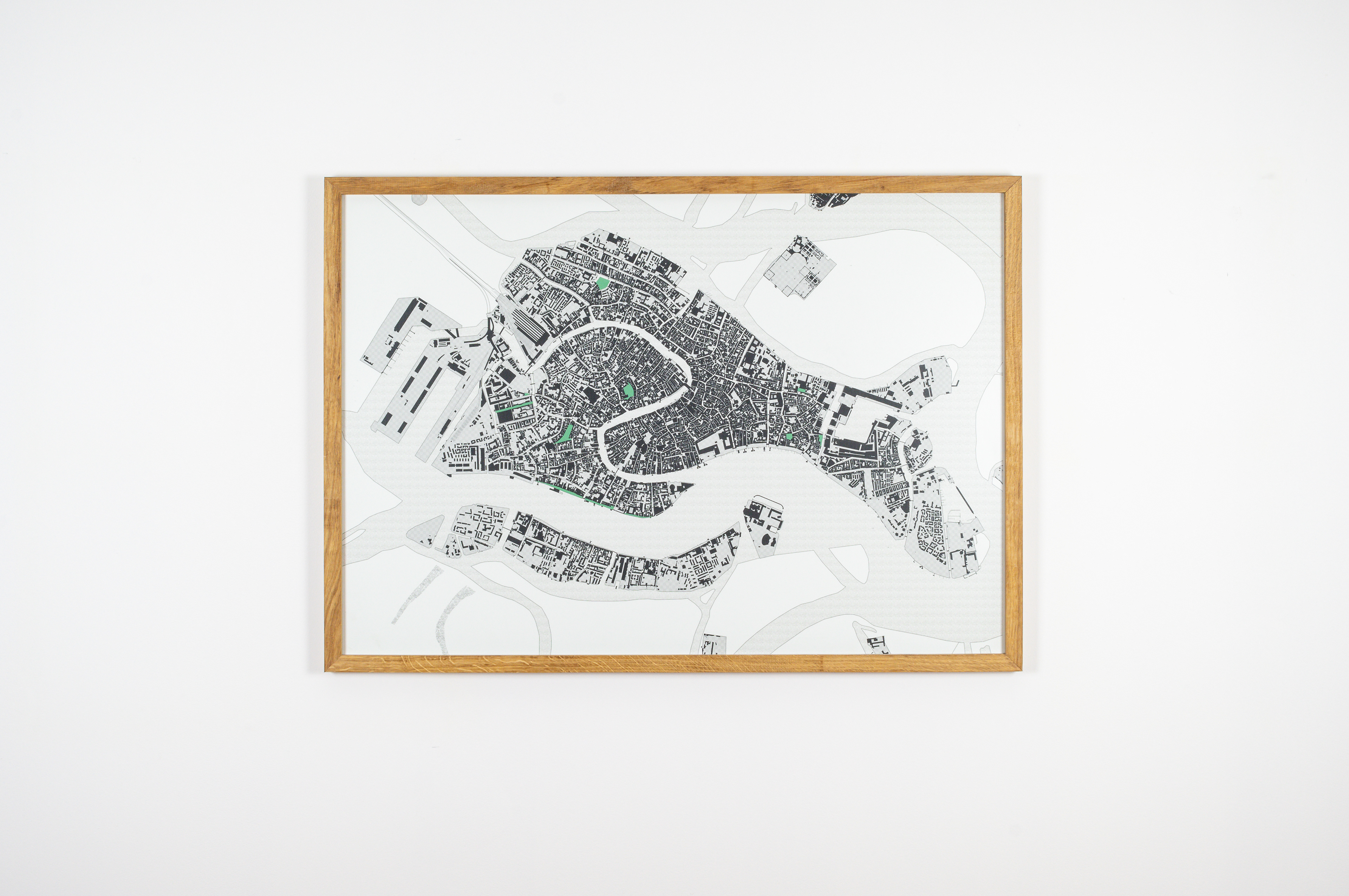
An orthophoto is an aerial photograph or a satellite image that has been geometrically corrected so that the scale is uniform and thus can be considered equivalent to a map.
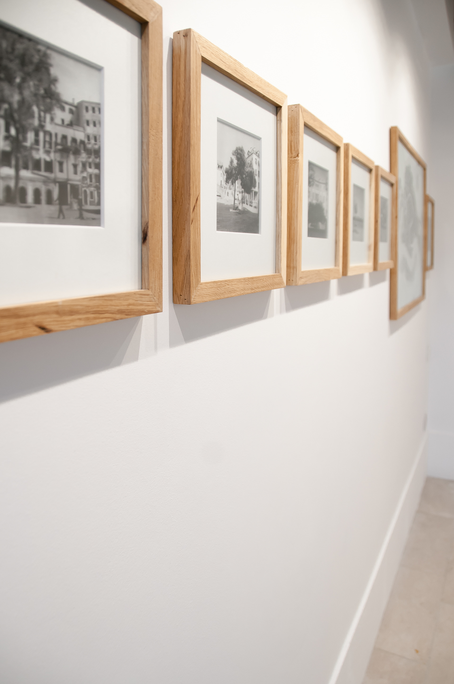
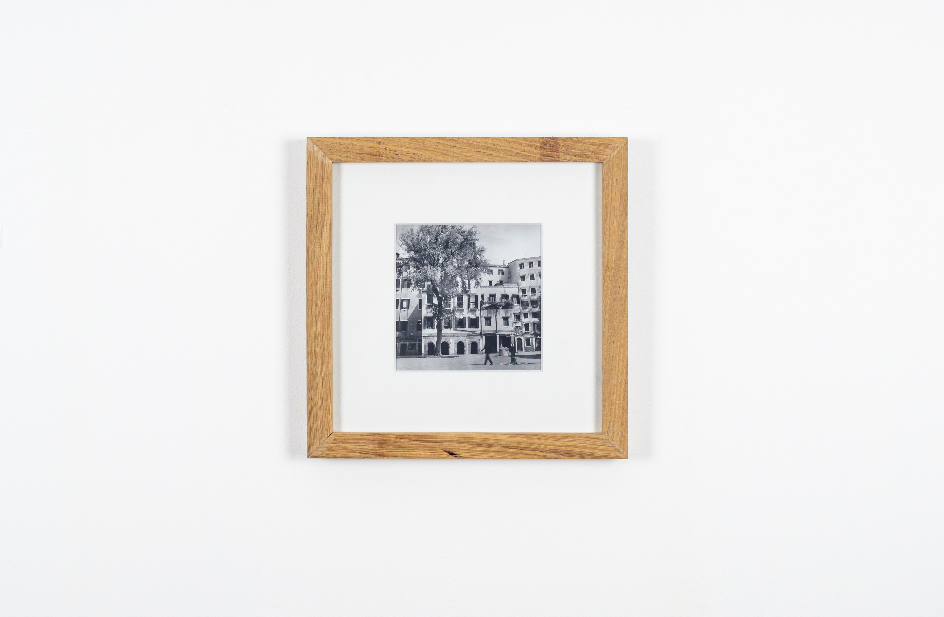
An orthophoto is the point of departure for the project exhibited here. This photographic itinerary immortalises the trees of Venice. In contrast to the real meaning of the name, ‘ortofoto’ (that translates literally as ‘orchard-photo’ in Italian), this project focuses on views of public green spaces observed during a series of walks around the streets and squares of Venice: a meticulous examination of the sites in the city where trees become protagonists in an artificial context, just like the city that hosts them. Trees of different dimensions and forms, trees that give comfort and protection, trees that provide a meeting point in the open, trees that are often hardly even observed or are taken for granted.
Through photography, here the trees of Venice are given new prominence and are also marked on the map that is on display in the exhibition. Each photo is given a title that refers to its geographic coordinates rather than where it can be found. On the map, the areas where the photos were taken are indicated, but without marking the precise spot where one finds the tree. This means that the spectator is encouraged to examine the map, find routes through the streets of Venice and to re-live our walks to discover the city’s green spaces.